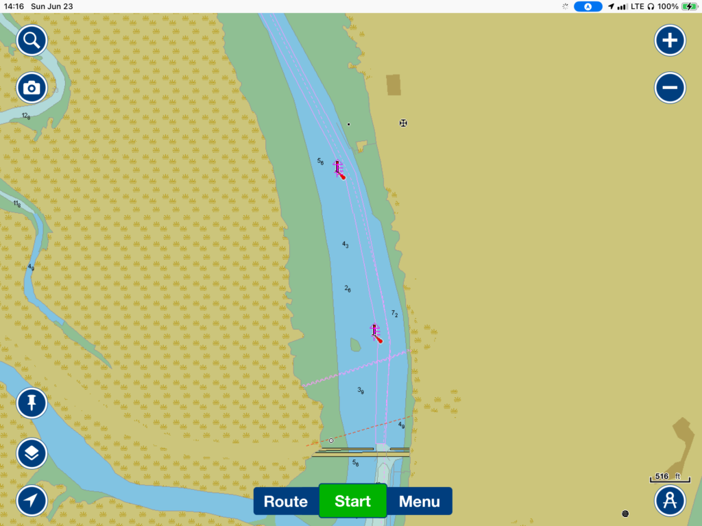
So, I did go out to the brewery, and they did have the kind of dark beers that I like, so I ordered one. I had brought my iPad in case there was no one to talk to (there wasn’t–the bar was pretty empty for a Saturday night) so could scan my ICW route up to Brunswick the next day to make sure there weren’t any surprises.
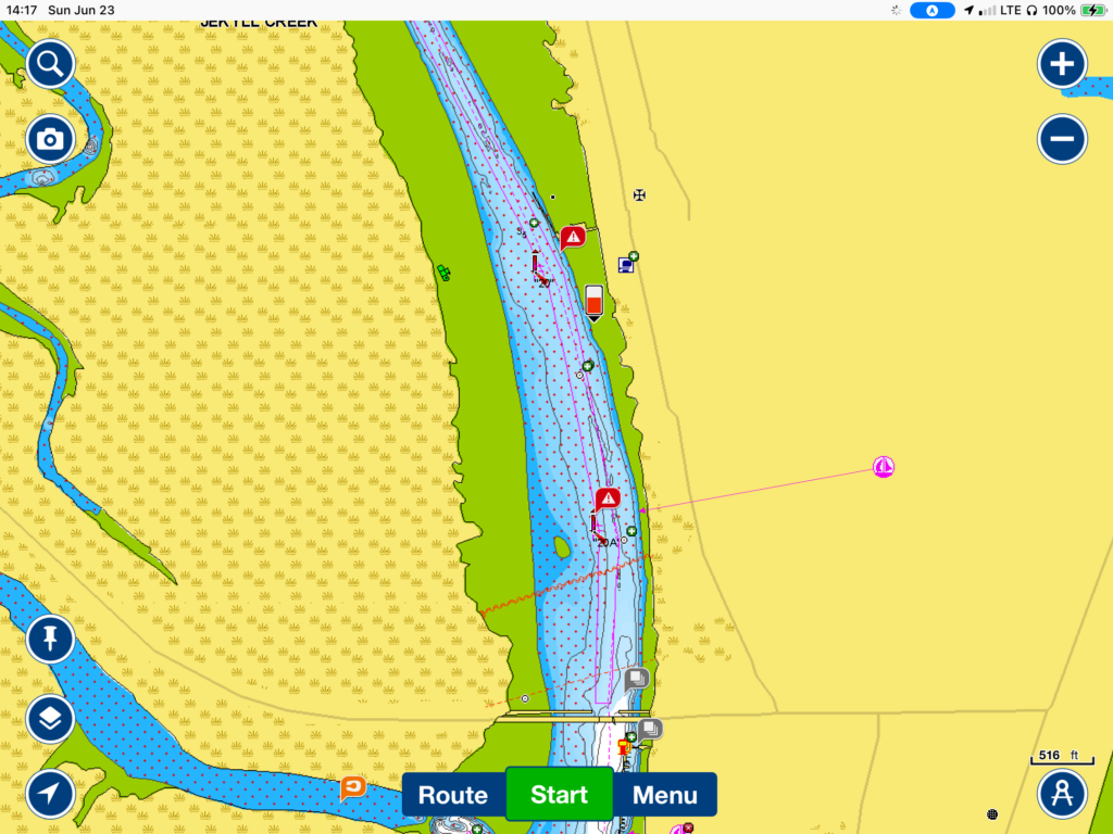
Boy, am I glad that I did! About 2/3 of the way, I noticed an area near Jekyll Island–a 2-mile stretch just north of the Jekyll Island Bridge–that had all kinds of shoal warnings in my Navionics app (my main navigation and planning app). I opened up a different app that I have only recently started using, AquaMap, based on recommendations from people on a very informative ICW Facebook Group. Among other things, it can display overlays of the U.S. Army Corps of Engineers (USACE)1 actual depth surveys, very helpful in the ICW. These are much more detailed than the occasional soundings that are on the navigation charts, or even the wiki-type depth soundings that are available on the Navionics charts.2
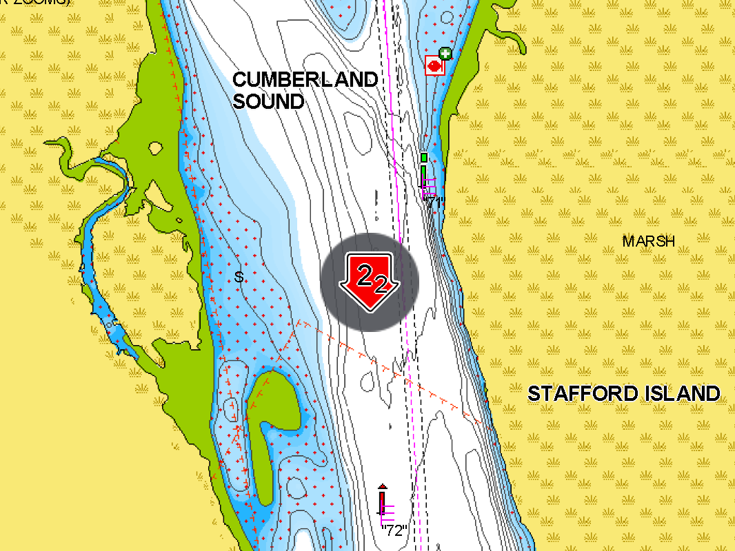
Here are the different overlays of the same, shoal-infested area. The little numbers reflect water depth at zero tide (called Mean Low Low Water or MLLW). This is basically the lowest the tide will get except for a few times a year. So, if there is a three foot plus tide, you would add three feet to those numbers and that’s how deep the water would be. Obviously, there needs to be at least as much as the draft of one’s boat; mine is 5.8′

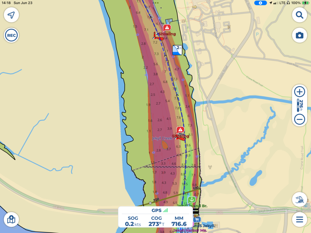
So, AquaMap gives a pretty good indication of the bottom when the USACE boat traversed this area. This is obviously an area that shoals over very easily for one reason or another, or it would be kept at the guaranteed 11′ depth by USACE. So the question then is, how recent is the USACE sonar survey? Well, AquaMap has a way to filter these, and for the area in question, they were done sometime between 1.5 and three years ago! A lot can change in three years!
So, it was time to go to another source: The ICW Facebook page. There are hundreds of boats that go up and down the ICW each year and many of them are members of this group. They post timely information about bridge closures, shoal areas, anchorages, etc. It is very active and very responsive. So, I jumped on the Group, searched for Jekyll Island and got way more than I needed! The gist was that at low tide, there are places where it can be as shallow as 3′. And this in the ICW with a suppose guarantee of at least 11′ of depth!!! So glad that I decided to bring my iPad to the brewery!3
The good news is that although there can be these shoal areas in the Georgia ICW, there are also much higher tides than in Florida. In fact, this specific area gets daily tides which vary as much as 7′ from high to low tide. That means that even if the depth is 3′ at low tide, it is 10′ at high tide! You just have to time it! Luckily, there is a tide station right there, so I looked to see when high tide would be the next day.
It showed that high tides would by at 10:37 am and 11:07 pm, while low tide would be at 4:49 pm (and it was a negative tide of over 1/2′. This was one of those times when the water was even shallower (by 1/2′) than the number on the chart. So, perhaps as shallow as 2.5′!) I would have to get there near high tide to feel comfortable. And that meant morning high tide because I don’t do the ICW in the dark unless its absolutely unavoidable.
This stretch was 28 miles away. At 6 knots, I could get there in 4.5 hours. That meant I could leave at sunup and be there close enough to high tide. However, there was one other thing to consider: These big tide fluctuations are also what causes the strong currents in Georgia, and makes them flip back and forth every six hours or so. So, the next thing I had to do was determine how the currents would affect me. This is what Navionics showed for most of my route the next morning:
This meant that my speed over ground wouldn’t be 6 knots, but 3.8 knots! To go 28 miles at 3.8 knots would take almost seven and a half hours! I wouldn’t get there until 2 pm, which would be only a 2′ high tide. If the depths were only 3 feet at places as reported, this additional 2′ would still not give me enough room to clear the bottom. I suddenly realized that I COULDN’T GET THERE FROM HERE!
The only way to do it would be to break the trip up into two days, getting as close as possible tomorrow, then hitting the morning high tide the next day. After that, it was only an hour and a half to the Brunswick anchorage. And I was planning to just sit in that anchorage for two nights anyway, so adding the day en route wasn’t a big deal time-wise. But where could I anchor?
And this was the next rub. There were really only two suitable anchorages anywhere close to the Jekyll Island “ditch” (as I’m going to call it from now on). One was right before it, but it was quite small, and subject to current. The next closest one to that was three and a half hours before it. So, if I got all the way to the one by the ditch and found it unsuitable (too many boats, anchor won’t set, etc.), I would have to turn around and motor three and a half hours back to an anchorage I had already passed up. That anchorage was also dubious, very small, and subject to a lot of current. It was about three and a half hours away from Fernandina Beach. So, which one to choose?
At this point, I was completely burned out, my beer sitting there almost full, and it was after 10 pm. I still didn’t know when to leave in the morning or what I should actually do, but thought I would go back to the marina, take a shower, and think about it afterwards.
So that’s what I did. On my way back to the boat, I ran into the captain of the mega yacht parked across from me, smoking a cigar. We had a nice discussion about the yacht (It had a 3-story elevator in it!), the owners, the captain’s job and lifestyle being the full-time skipper of something like that. Wasn’t nearly as romantic or glamorous as one might imagine. Reminded me of a charter pilot lifestyle. You travel around and see a lot, but are on call all the time, having to depart home and family with little notice a few weeks or a couple months at the whim of the owner.
Having had a chance to let all the navigation things settle and getting more “big picture” about it all, I realized that it was getting to be a tremendous amount of work just to get 20 miles further up the coast (30+ miles via the ICW) before I went outside on Tuesday to do an overnight passage to Charleston. The difference in passage time to Charleston from going outside here at Fernandina vs. Brunswick was only about 4 hours! It would be stupid to go through all that to save four hours. Smarter to stay put until Tuesday.
But, where to stay? I couldn’t afford two more $143-nights here. There were people anchored out in the river, but the current was pretty strong. Then I remembered the mooring field! I jumped on the marina’s web site saw that they had 20-something mooring balls which were available on a first come/first served basis, and just looking out from the boat I could see that there were many balls available! That was the solution. Much more secure than anchoring, and only $25/night. So, that became my plan. Except….
Except that grabbing a mooring ball isn’t easy if there’s any kind of wind or current (even with two people aboard), and I would have some of both in the morning and be single-handed. So, before going to sleep I spent an hour or so researching the best techniques to get on a mooring ball single handed. That gave me some ideas, but I went to bed very restless and worried about being able to actually accomplish it, as well as worrying about once again having to get off a dock single-handed. I had some very horrific boat dreams that I won’t bore you with, even in a footnote. 🙂
- USACE is responsible for maintaining the depth of the ICW. ↩︎
- Many boaters that use Navionics have it tied into their depth sounder. That “crowd-sourced” depth data is uploaded to Navionics’ database, then made available to every user as a “sonar” overlay. this provides much more detail (and I find allows much greater range of operations) than the standard government charts which are based on occasional (and very old) soundings. ↩︎
- I hit the brewery at 9:00 pm and actually ended up having only a sip of my beer, which I had as I was opening up the app. As all these realizations started happening, I realized I had no idea yet if/when/or where I was going the next day, and needed to have a clear head to decide when to even wake up. ↩︎